Description
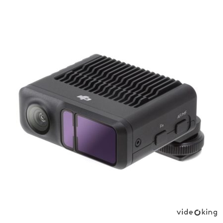
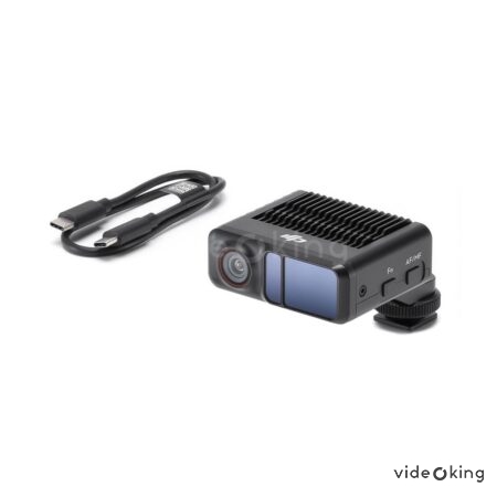
Introducing the DJI LiDAR Range Finder for DJI RS 3 – the ultimate tool for professional filmmakers and photographers seeking unparalleled precision and efficiency in their aerial projects. With its cutting-edge technology and advanced features, this range finder takes your creative vision to new heights, delivering exceptional results with every shot.
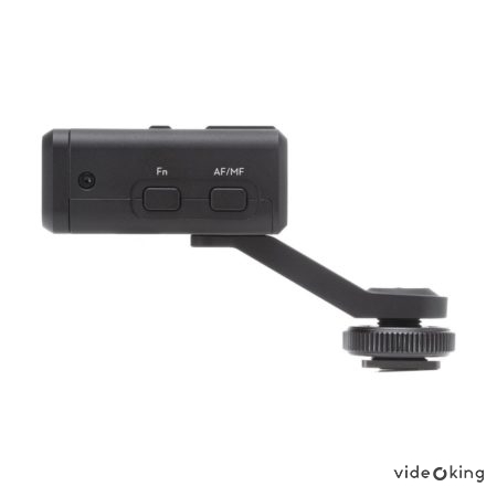
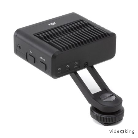
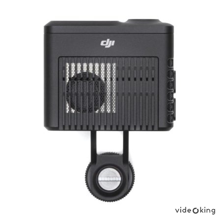
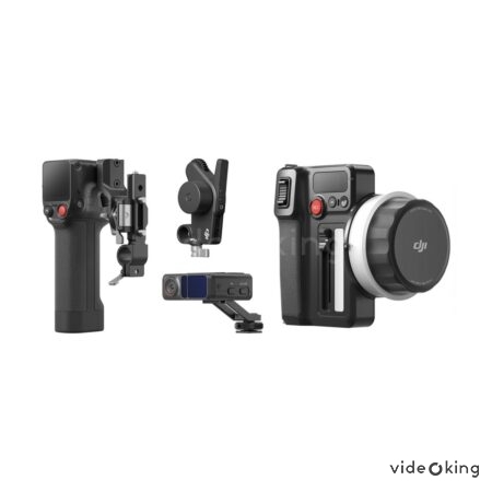
The DJI LiDAR Range Finder is designed to seamlessly integrate with the DJI RS 3, providing accurate distance measurements and detailed 3D maps of the surrounding environment. This revolutionary device utilizes Light Detection and Ranging (LiDAR) technology, enabling you to capture precise data and create stunning visuals like never before.
One of the standout features of the DJI LiDAR Range Finder is its exceptional range capability. With a maximum range of up to 120 meters, you can effortlessly scan vast landscapes and capture intricate details with remarkable accuracy. Whether you’re surveying a construction site, mapping terrain, or scouting for the perfect filming location, this range finder ensures you have all the information you need at your fingertips.
Thanks to its high-precision scanning, the DJI LiDAR Range Finder offers incredible depth perception, allowing you to accurately measure distances and create detailed 3D models. This level of precision is invaluable for professionals in industries such as architecture, engineering, and land surveying, as it streamlines workflows and reduces the need for manual measurements.
The DJI LiDAR Range Finder is equipped with advanced obstacle detection and avoidance capabilities, ensuring a safe and smooth flight experience. Its intelligent algorithms detect and avoid obstacles in real-time, providing you with peace of mind and allowing you to focus on capturing breathtaking footage. This feature is particularly useful when operating in complex environments or during challenging weather conditions.
With its user-friendly interface and seamless integration with the DJI RS 3, the DJI LiDAR Range Finder offers a hassle-free experience for both seasoned professionals and aspiring enthusiasts. The intuitive controls and comprehensive data visualization tools empower you to make informed decisions on the fly, enhancing your productivity and creativity.
The value this range finder brings to your projects is immeasurable. By leveraging its advanced capabilities, you can unlock a world of possibilities and take your aerial photography and videography to new heights. From creating stunning visual effects to accurately measuring distances for construction projects, the DJI LiDAR Range Finder is a game-changer in the industry.
In summary, the DJI LiDAR Range Finder for DJI RS 3 is a powerful and versatile tool that revolutionizes the way you approach aerial projects. With its exceptional range capability, high-precision scanning, obstacle detection, and user-friendly interface, this range finder empowers you to capture breathtaking footage with unparalleled accuracy and efficiency. Elevate your creative vision and unlock new possibilities with the DJI LiDAR Range Finder – the ultimate companion for the DJI RS 3.

